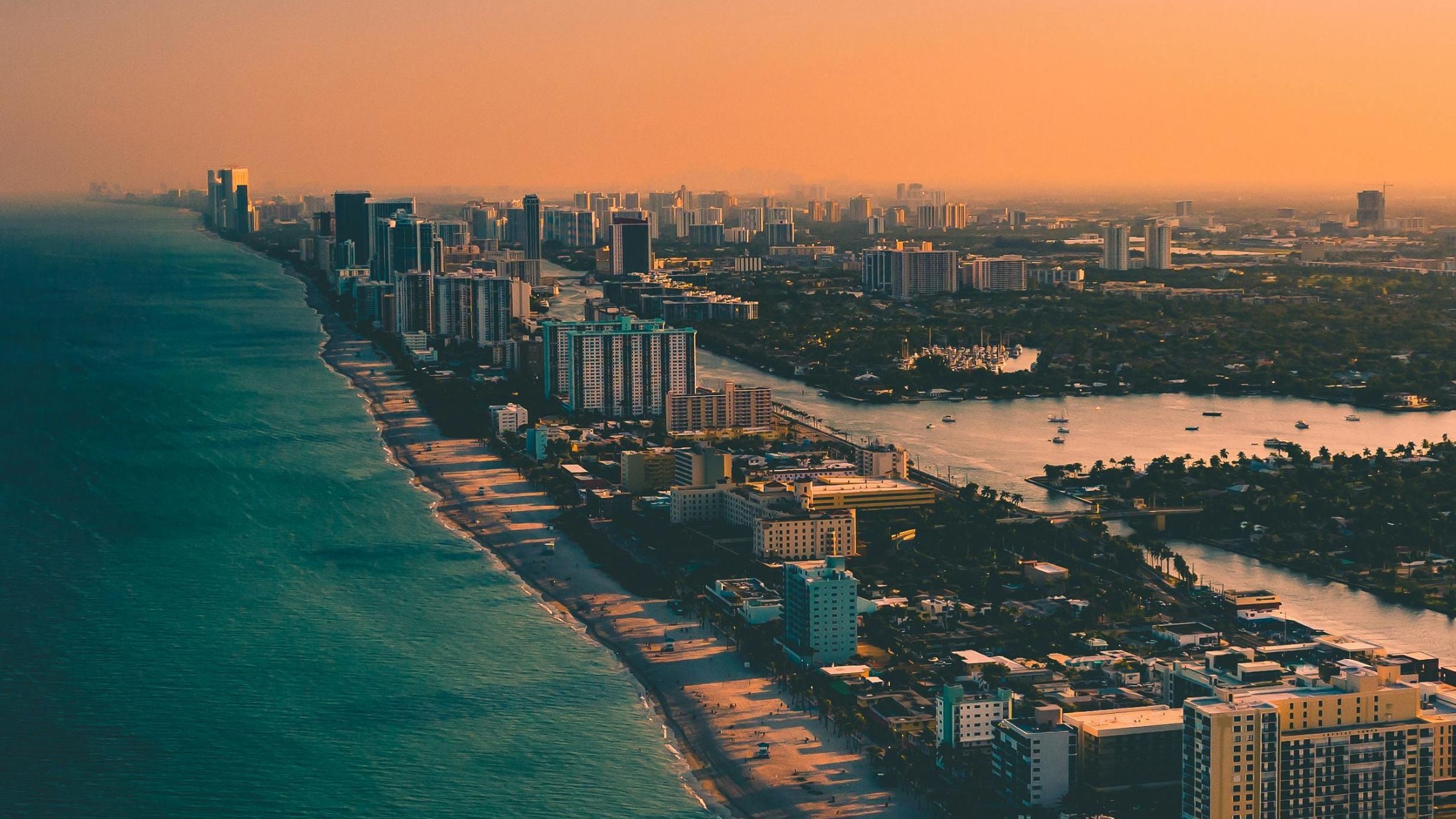
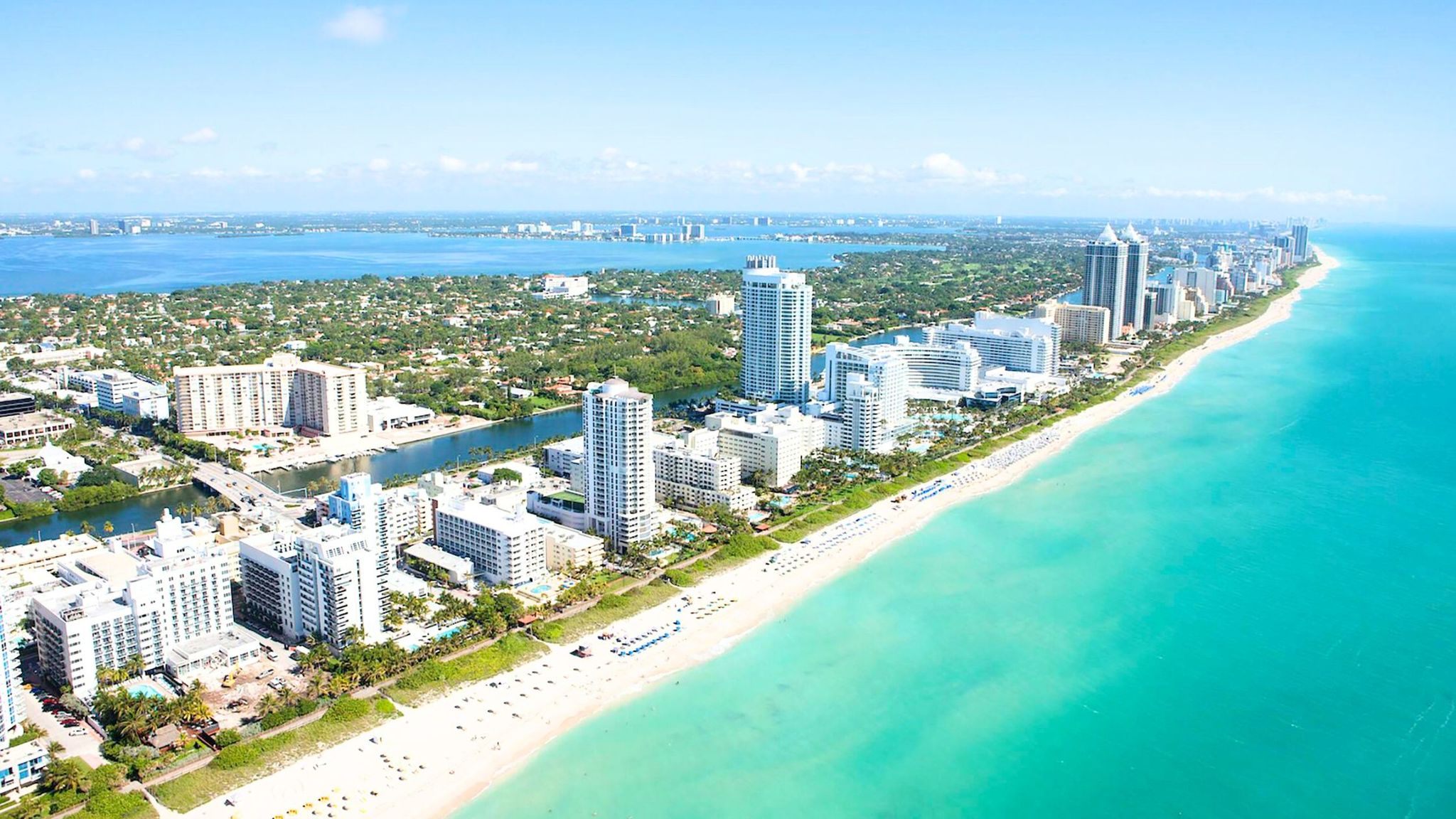
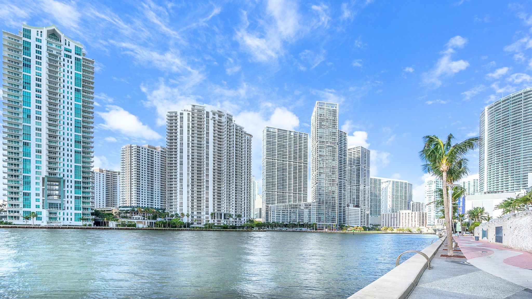
Miami’s famous beaches and waterways also make it one of the most flood exposed metropolitan areas in the United States. More than one third of homes in Miami-Dade County face high flood risk, and rising seas are already pushing salt water onto streets and into groundwater. With new FEMA flood maps expected in 2025 and flood insurance reforms underway, homeowners and investors need clear information to navigate flood zones, evaluate risk and plan for the future. This guide explains the different FEMA flood zones, explores how sea level rise projections of 10 to 17 inches by 2040 and up to 54 inches by 2070 may affect Miami real estate, and breaks down what Risk Rating 2.0 and Florida’s 2024 flood disclosure law mean for your wallet.
Flood Zone Basics: What the Letters Mean and Why They Matter
Understanding FEMA flood zones is the first step toward assessing risk and insurance requirements. Flood zones identify the likelihood of flooding in a given area based on historical data and modelling. Here’s a breakdown of the most relevant zones for Miami:
High‑Risk Zones (Special Flood Hazard Areas)
- Zone A/AE (1 % annual chance floodplain) – Areas with at least a 1 in 100 chance of flooding each year. Zone AE corresponds to flood depths over three feet, and homeowners with federally backed mortgages must carry flood insurance.
- Zone AH – Areas with a 1 % chance of shallow flooding (1–3 ft). Insurance is mandatory for mortgaged properties.
- Zone AO (Sheet flow) – Areas on sloping land where flood waters move across the surface at shallow depths.
- Zone VE (Coastal high hazard) – Coastal areas subject to storm surges and wave action. Miami Beach’s oceanfront communities often fall into this category. Insurance rates are higher due to wave hazards.
- Zone V – Areas along the coast with a 1 % or greater chance of flooding and an additional hazard due to storm waves.
Moderate‑to‑Low‑Risk Zones
- Zone X (shaded and unshaded) – These areas lie outside the 100‑year floodplain or have flood depths less than one foot. Flood insurance is optional, yet FEMA notes that more than 20 % of National Flood Insurance Program (NFIP) claims come from low‑to‑moderate risk zones.
- Zone B/C – Older designations equivalent to moderate risk in some neighbourhoods.
- Zone D – Areas where flood hazards are undetermined. Premiums may be higher to account for uncertainty.
Understanding your zone is essential because high‑risk zones (A or V) require flood insurance from federally backed lenders. Even when insurance is optional in Zones X, B and C, a large share of claims come from these areas, highlighting the importance of voluntary coverage.
How to Check Your Flood Zone
Miami‑Dade County offers an online Flood Zone Map and interactive flood vulnerability viewer where residents can enter an address to see zone designations. FEMA’s Flood Insurance Rate Maps (FIRMs) are periodically updated, and new maps expected in 2025 could reclassify low‑risk areas into high‑risk zones. It’s wise to review these maps regularly and consult with a local floodplain manager when buying or renovating a home.
Sea‑Level Rise and Climate Projections for Miami
How Fast Are the Seas Rising?
Miami’s vulnerability stems from its low elevation and porous limestone bedrock. The Southeast Florida Regional Climate Change Compact provides a unified sea‑level rise projection for the region, which Miami‑Dade County uses for planning. Key milestones include:
Time horizon | Projected sea‑level rise* | Implications |
By 2040 | 10–17 inches above 2000 levels | Street flooding during high tides becomes routine; saltwater intrusion threatens groundwater. |
By 2070 | 21–54 inches | Frequent flooding of coastal roads and properties, increasing insurance claims and repairs. |
By 2120 | 40–136 inches | Long‑term scenarios include widespread inundation requiring major infrastructure adaptations. |
*Projections relative to mean sea level in 2000 (Key West tide gauge).
Local Adaptation Efforts
Miami‑Dade and the City of Miami Beach have embraced adaptation. In July 2025, Miami Beach adopted a Sea‑Level Rise Adaptation Plan that aims to safeguard infrastructure and preserve neighborhoods over the next 75 years. The city identified over 67,000 assets vulnerable to flooding and received funding through Florida’s Resilient Florida Grant. Strategies include:
- Phased pathways – Analyzing when current infrastructure may no longer be viable and identifying alternative measures.
- Raising roads – In neighborhoods like Sunset Harbour and West Avenue, streets are being raised by 2 feet while underground infrastructure is upgraded.
- Stormwater pump stations and seawalls – Miami Beach has installed pumps, elevated seawalls and invested in green infrastructure to manage king tides and heavy rainfall.
- Building standards – New construction over 700 feet must achieve LEED Gold certification and the city is expanding electric vehicle charging stations.
These measures may help lower future flood insurance premiums by reducing expected losses and demonstrating resilience to insurers.

The Changing Landscape of Flood Insurance
Flood Insurance Basics
Standard homeowners insurance does not cover flood damage, so homeowners in designated high‑risk zones must obtain flood coverage through the NFIP or private insurers. The NFIP offers up to $250,000 for the structure and $100,000 for contents. Premiums depend on elevation, distance to water and construction details.
According to NerdWallet’s 2025 analysis, the average cost of NFIP flood insurance in Florida is $865 per year, though rates vary widely. In Miami‑Dade County, the average NFIP premium is $584 per year (about $49 per month), and within the City of Miami the average across all NFIP policies is $344 per year (about $29 per month). Premiums in Monroe County (Florida Keys) exceed $1,900 per year.
Why Rates Are Rising: Risk Rating 2.0
In 2021 FEMA began phasing in Risk Rating 2.0, a new pricing methodology that calculates premiums based on property‑specific flood risk rather than broad zones. Key points from FEMA data and analyses:
- More accurate risk signals – Risk Rating 2.0 aligns premiums with a property’s distance to water, elevation and potential flood types.
- Uneven rate changes – About 20 % of Florida policyholders saw premiums decrease, but most pay the same or more. Under federal law, annual increases are capped at 18 %.
- Florida average under Risk Rating 2.0 – As of Aug. 31 2023, the average single‑family NFIP premium was $776 per year; however the actuarial risk‑based rate is $1,363. Thus, many homeowners will see 18 % increases each year until they reach the full risk‑based premium.
- Decline in coverage – Rising premiums have reduced NFIP uptake by up to 39 % for new policies and 13 % for existing policies. Lower coverage increases the protection gap, particularly for low‑income households.
- Real‑life costs – A Miami real estate agent reported that his homeowner’s insurance climbed from $2,000 to $6,700 and flood insurance from $400 to $1,250 within two years, demonstrating the financial impact.
Looking forward, climate models indicate premiums could rise substantially. The First Street Foundation’s 12th National Risk Assessment projects that Miami metro flood insurance premiums could increase by 322 % by 2055. The Invading Sea notes that Miami policyholders faced a 322 % premium increase in 2024, and that 54 % of Floridians worry about homeowners insurance affordability, with 15-20 % of homeowners uninsured. Several insurers have gone insolvent, forcing the state‑run Citizens Property Insurance Corporation to triple in size.
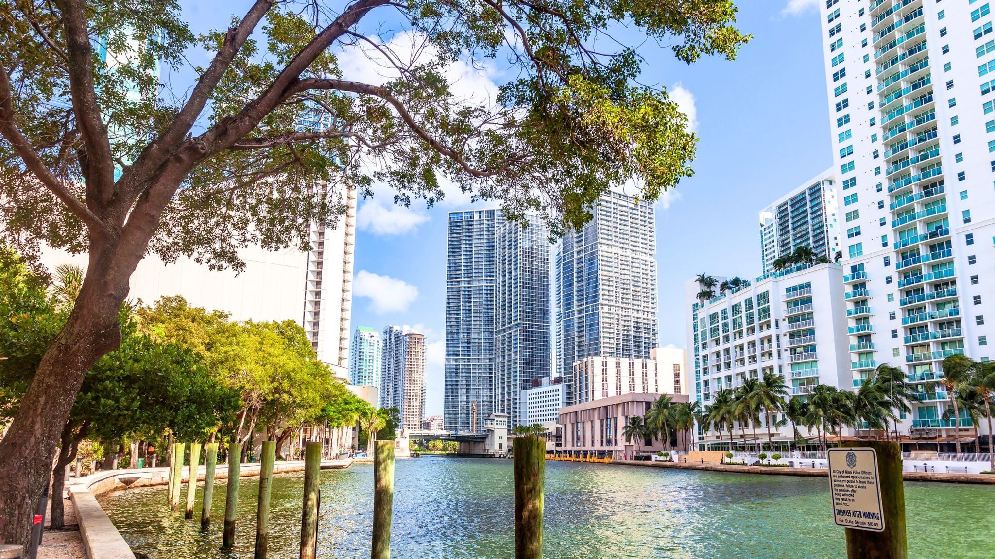
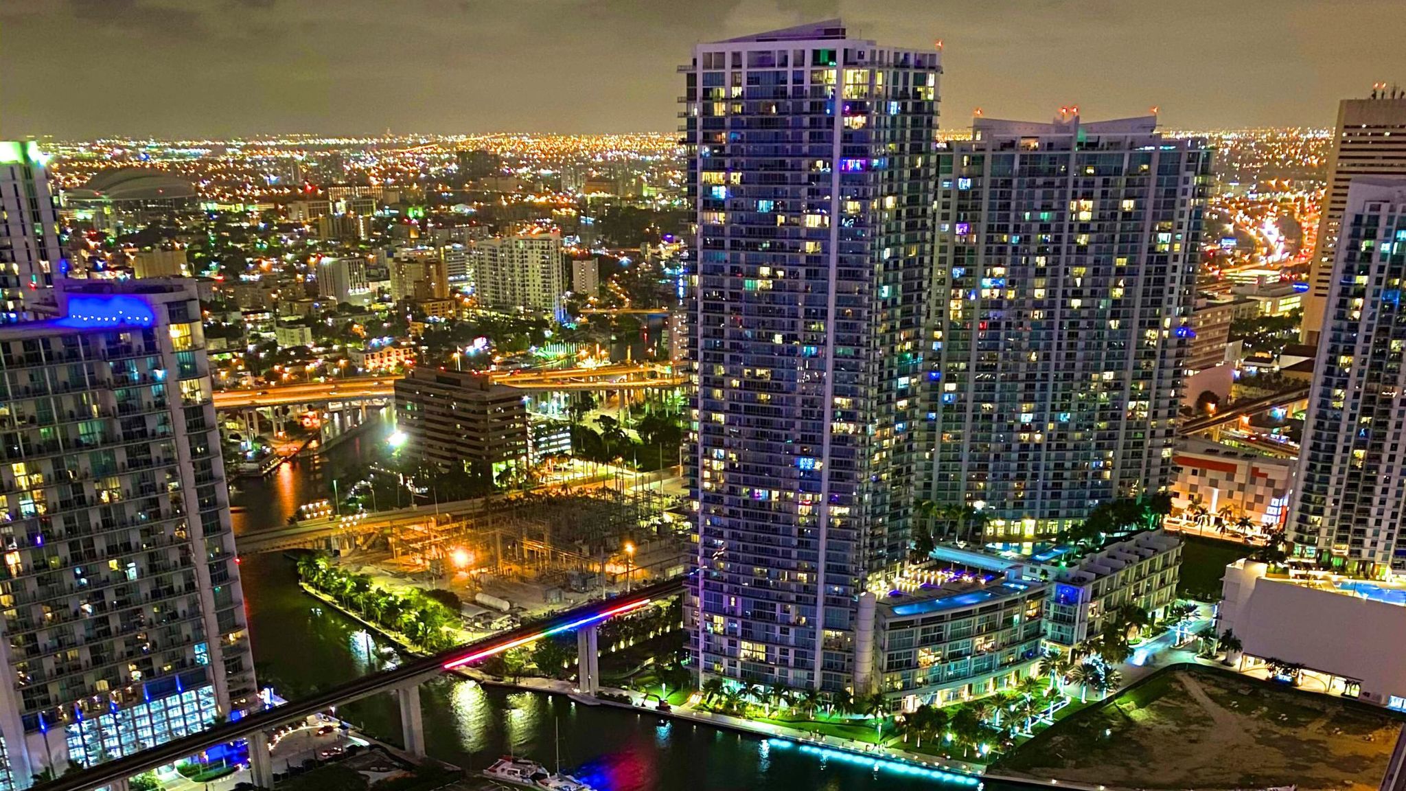
Miami Real Estate: Flood Risk, Home Values and Migration
How Flood Risk Influences Property Values
Market analyses show buyers discount properties in flood‑prone areas. A New America report notes that homes in FEMA special flood hazard areas stay on the market longer and have experienced a climate‑risk discount totalling $5 billion in Florida from 2005 to 2023. Insurer insolvencies and premium increases have made coverage more expensive, affecting affordability for buyers.
Migration Patterns and Net Outflow
Redfin’s 2025 climate migration analysis reveals that Miami-Dade County, where 36.3 percent of homes face high flood risk, experienced a net domestic outflow of 67,418 people in 2024. High housing costs, extreme weather, and rising insurance premiums are motivating some residents to leave. Despite the outflow, Miami’s overall population still grew in 2024 due to international migration.
Personal Stories
A local real estate agent quoted in the Redfin report said many pandemic‑era migrants are leaving because living in Miami is expensive and extreme weather events have increased. His own homeowner’s and flood insurance premiums skyrocketed. Such anecdotes illustrate how climate risk and insurance costs directly affect individual homeowners and should inform decisions when buying or investing.
New Flood Disclosure Law: What Sellers and Buyers Must Know
Florida addressed transparency gaps with House Bill 1049, a flood disclosure law effective October 1 2024. Sellers must complete a disclosure form at or before contract that states:
- Whether the property has experienced previous flooding or flood‑related damage.
- Whether a flood insurance claim or federal disaster assistance was received.
- A disclaimer explaining that standard homeowner insurance does not cover floods, encouraging buyers to obtain flood insurance.
This law aims to empower buyers to make informed decisions and may influence market values. For sellers, honesty is crucial, as failure to disclose could lead to legal liability. Buyers should request and carefully review the flood disclosure form and confirm whether flood insurance is required for their mortgage.
Practical Tips for Home Buyers, Sellers and Investors
1. Determine Your Flood Risk
- Check current and preliminary flood maps—Use Miami‑Dade’s online viewer and FEMA’s FIRMs to identify your zone. With map revisions expected in 2025, areas currently outside high‑risk zones could be reclassified. Consider ordering an elevation certificate.
- Assess long‑term sea‑level rise—Consider 2040 and 2070 projections (10–17 inches and 21–54 inches). Low‑lying homes near Biscayne Bay are more exposed to tidal flooding.
- Factor in insurance availability—Rising premiums and insurer withdrawals may affect mortgage approval and carrying costs. Explore private flood insurance options.
2. Budget for Flood Insurance and Mitigation
- Understand premium trajectories—Average NFIP premiums in Miami range from $344 to $584 per year, but under Risk Rating 2.0 some homeowners may see increases toward actuarial rates (~$1,363 per year). Plan for annual 18 % increases.
- Mitigate to reduce costs—Elevating your home, installing flood vents, and using flood‑resistant materials can lower premiums. Community projects like road raising and pump stations illustrate how infrastructure improvements may reduce risk.
- Maintain coverage even in moderate‑risk zones—More than 20 % of NFIP claims come from Zones X, B and C. Flooding can occur outside high‑risk areas.
3. Leverage the New Disclosure Law
- For sellers—Gather documentation on past floods, repairs and insurance claims. Be transparent to comply with HB 1049. Highlight resilience upgrades such as hurricane shutters or elevation improvements.
- For buyers—Request the seller’s flood disclosure and verify details through county records or insurance agents. Consider adding a flood insurance contingency to your purchase contract.
4. Evaluate Neighborhood Resilience
- Look for adaptation initiatives—Neighborhoods engaged in resilience projects (raised roads, improved drainage, seawalls) may fare better. For instance, Miami Beach’s adaptation plan emphasizes phased pathways and community input.
- Monitor migration trends—Counties with high flood risk have experienced net domestic outflows. Long‑term demand may shift toward elevated inland neighborhoods.
Navigating Flood Zones in Miami Real Estate
Flood zones are an important part of evaluating real estate in Miami, but they are only one factor in assessing a property.
Understanding several key elements can help buyers and homeowners make more informed decisions:
- FEMA flood zone classifications
- Sea-level rise projections
- Flood insurance requirements and costs
- Local infrastructure and resilience investments
Miami continues investing heavily in resilience and adaptation projects, helping the city balance its waterfront lifestyle with long-term sustainability.
For buyers, investors, and homeowners, understanding flood zones and insurance requirements is an important step toward protecting both property value and long-term financial security in South Florida. If you have questions or would like guidance when evaluating flood risk as part of a purchase or investment decision, feel free to reach out for more information.